Old Railroad Grade at Croom
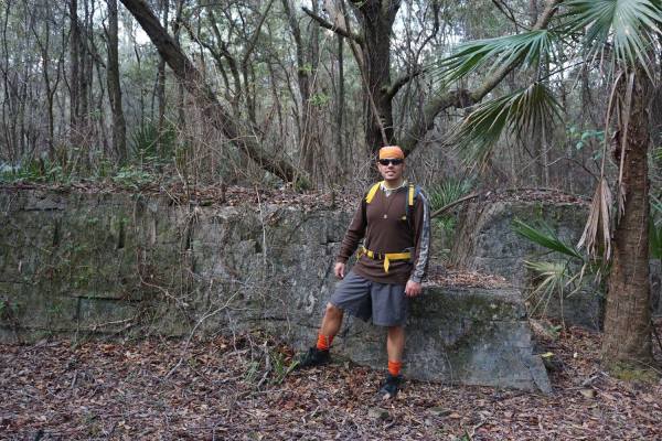
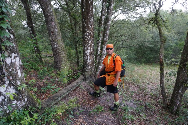
For years I have been exploring the various sections of Withlacoochee State Forest, with so many places to roam and history to experience I find myself returning time and time again. Recently I have been focusing on documenting various ghost towns around Florida and there were several located within the Withlacoochee State Forest. So I decided to do some more research and get out into the woods to find some more evidence from these past towns.
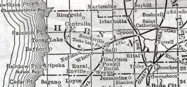
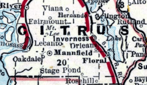
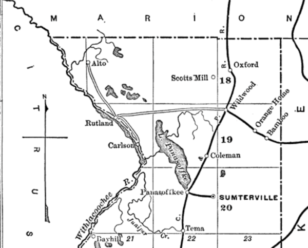
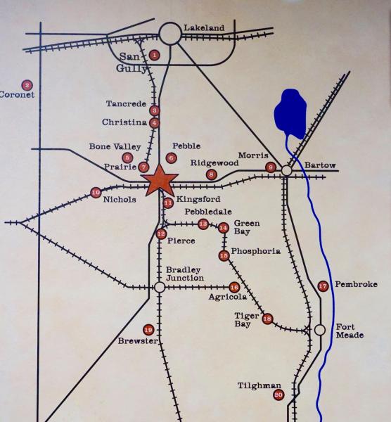
Old Map of Croom
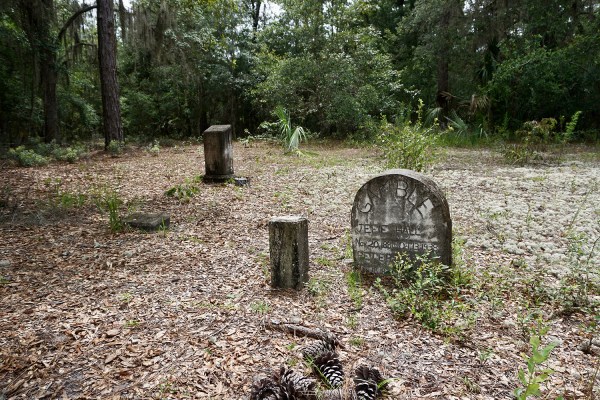
One of the towns I have explored there is part of the Croom Tract in Hernando County. Back in the late 1800’s the area was known as Croom. I have seen a few other names on maps in the same area as well such as Pemberton Ferry and Fitzgerald. I learned that Pemberton Ferry was a place where wagons and buggies crossed the Withlacoochee River using a ferry. In those days that was the only way across the river here. I imagine families settled, farmed the land and traded with each other helping to build a small community.
Around the 1890’s part of the Florida Southern Railroad came through here, later becoming the Atlantic Coast Line Railroad. Industries such as logging, mining and turpentine sprung up around the railroad and the town soon became known as Croom. Like most old Florida towns once all the resources were used up, these companies moved on and the towns would soon vanish. Today nature has reclaimed most of the area.
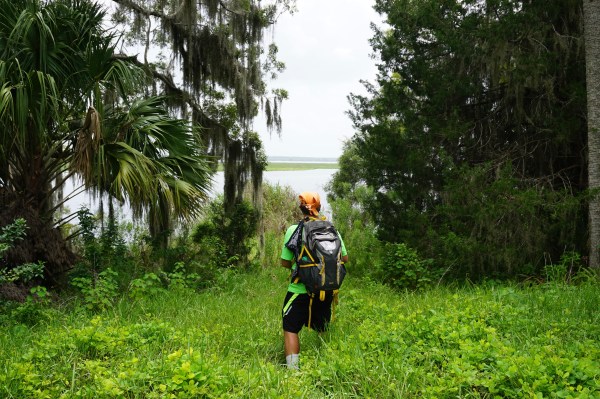
One of the first areas I looked for was the old railroad line, most of the activity and town would be around that area. Today some of the line is part of the Withlacoochee State Trail, a paved bicycle path. Exploring deeper into the woods there I followed the railroad line to where it crossed the Withlacoochee River. There I could see some of the old rails laying on the ground, trees have grown around some of them. You can see the raised railroad bed where it connected with a trestle that once crossed the river, the trestle is no longer there. When the water levels are down you can see part of the wood pilings. Just across the way is Hog Island where another bridge used to cross it was known as Iron Bridge.
I continued on to where the old turpentine camp used to be. It must have been a large operation, around the site I could still see remnants from the past. Bricks and old metal scattered around the area, large clearings where buildings used to be and some turpentine artifacts could be seen. I followed many of the old roads around the turpentine camp and discovered an old cistern in the ground most likely used to store water.
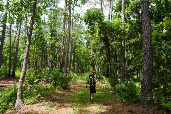
You can get a real sense of the history in this place, it makes you want to learn more and see what else could be there. I will continue to explore it that is for sure as I always enjoy hiking this part of the forest and seeing what still remains from the past. Deeper into the wilderness here is some of the old mining history I will cover that in another posting. This tract is very popular for hiking, mountain biking and horseback riding. Be sure to check out the links and my videos to learn more about this place. As always I leave all artifacts where I see them and take nothing but photos and videos. When visiting this or other places like this please be respectful and leave all history as you see it, thank you and enjoy the adventure!
My Videos
Croom Ghost Town (Part One)
Croom Ghost Town (Part Two)
Resources
Withlacoochee State Forest
Croom Ghost Town
History Hikers – Croom/Oriole
Hernando County History
Hernando History FLGenWeb

Railroad Grade

Railroad Tie

Railroad Grade

Turpentine Artifacts

Turpentine Artifacts

Galvanized Metal Turpentine Cup

Clearings

Artifacts

Bricks

Cistern

Railroad Grade

Iron Bridge Remnants

Iron Bridge Remnants

Railroad Grade

Iron Bridge Remnants

Iron Bridge Remains

Old Map of Pembleton Ferry

Old Map of Croom

Croom Railroad Depot

Iron Bridge
 I am honored and extremely grateful to be featured in the September 2019 issues of Wesley Chapel, Lutz and Land O’ Lakes Magazines distributed in Pasco County, Florida.